26 Mar
2018
26 Mar
'18
3:10 p.m.
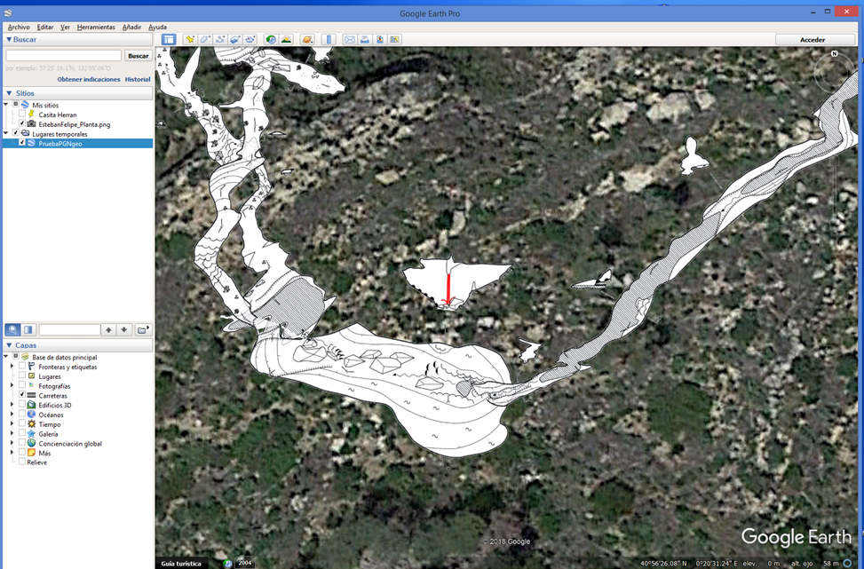
It's OK. I have found my mistake: in the previous PDF the map was rotated. That's why I was giving negative image coordinates, which interrupted the execution of the "Calibrate bitmap" command. Now exporting a PDF not rotated, using the "Calibrate bitmap" and convert to KMZ with Global Mapper, I have this beautiful map in Google Earth and GIS. Evaristo.