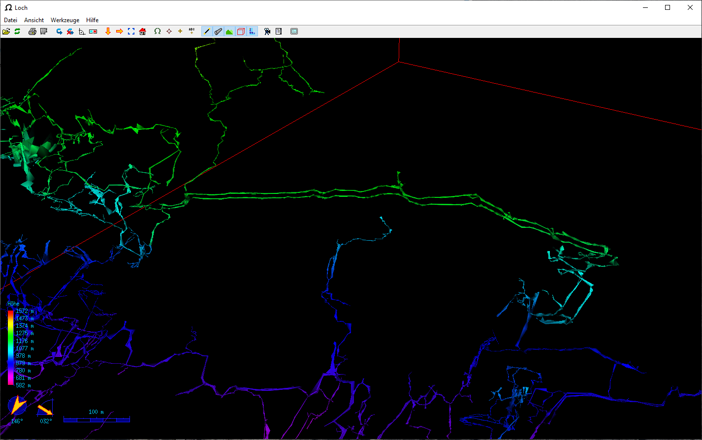
Dear Therion Community Our caving club is working on processing our old survey data. We are trying to display our data with the help of Therion and the Loch programme. Among the caves, the Hölloch is represented with over 200 km of passages. The survey data has been added over 70 years. This results in a problem that already surveyed passages were re-surveyed years later. In addition, a surveying network was drawn through the entire cave and recorded with theodolites to increase accuracy. In order to represent all the passages, there are therefore overlaps; some passages are drawn twice in the Loch programme. However, all these surveys are needed to calculate the cave. My question is, is there a flag that makes it possible to switch off or hide measuring sections in the LRUD data without these being excluded in the calculation? Or what other solutions are there? Thank you for your answers. Kind regards Thomas