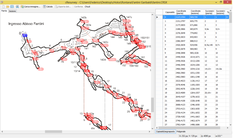
Hi Phil, cSurvey can also help with remastering of paper maps. Unfortunalty all documentation is in Italian but software is translated to English. http://csurvey.it/site/index.php/en/download Andrey
Вторник, 20 декабря 2016, 20:48 UTC от Philippe Vernant via Therion <therion@speleo.sk>:
Several surveys and visual topo files, but not always the same stations …
Phil
On 20 Dec 2016, at 19:47 PM, Martin Sluka via Therion < therion@speleo.sk > wrote:
What is source of your old data - maps?
m.s.
20. 12. 2016 v 17:47, Philippe Vernant via Therion < therion@speleo.sk >:
OK my mistake, I could export the compass format. But if someone has a clever idea as how to do it easily without computing the difference between the two stations, I’d be happy to have the solution.
Thanks, Phil
On 20 Dec 2016, at 17:43 PM, Philippe Vernant < phil.vernant@gmail.com > wrote:
Hi guys,
I’m trying to merge some old survey data with new ones and I’d like to know the coordinates of some stations. this way I could compute the length, the azimuth and the dip angle between old and new stations to merge le file together. I’m trying to export the data in compass format, I know that I could get the coordinates in this file, but I have a message :
therion: error -- thconfig [25] -- unknown format -- "compas"
Any idea on how I could do that ?
Thanks, Phil
_______________________________________________ Therion mailing list Therion@speleo.sk https://mailman.speleo.sk/listinfo/therion
_______________________________________________ Therion mailing list Therion@speleo.sk https://mailman.speleo.sk/listinfo/therion
_______________________________________________ Therion mailing list Therion@speleo.sk https://mailman.speleo.sk/listinfo/therion