12 Nov
2014
12 Nov
'14
8:40 p.m.
12. 11. 2014 v 19:37, Bruce <bruce@tomo.co.nz>:
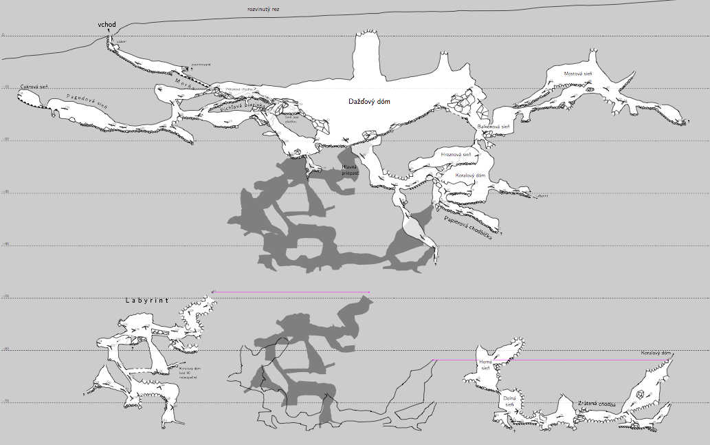
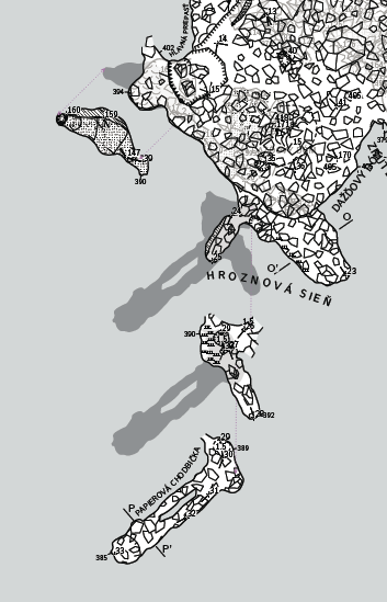
Have you though of using offset in your extended elevations as an alternative to segregated output files? You know you can choose the starting station and direction of branching in extended elevations? You can use offset to separate passages that would otherwise overlie each other. This would give you segregated maps in a single file/run and the relationship of the offset maps can be displayed by Therion in the form of map-connection lines and preview above/below outlines.