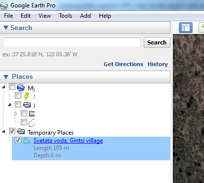
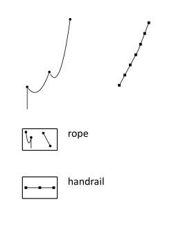
Hi Here are a couple of updates I did, which might be useful to someone. 1) KML model and map export. When exporting a KML it always got a title of "Therion KML", which made it harder to navigate when several files are opened in Google Earth. I updated the title to contain the survey title in whatever language is selected for the export. The description contains the length and depth for the cave. 2) I wanted to use a rope line, but the existing symbol for it was hidden and not completely finished. I used the existing metapost, which displays the rope very nicely, with a couple of additions. You can control whether the rebelay rope loops are shown with the option "-rebelays on/off" and the anchor points with "-anchors on/off" The line handrail looked very similar to rope, so I changed the little dots to squares. Attached are the code patches and a couple of screenshots. If someone recompiles and tests those I would be happy to hear the comments :) Vladimir