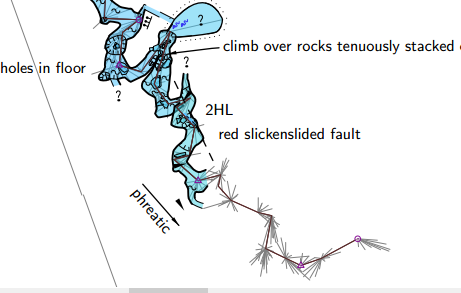
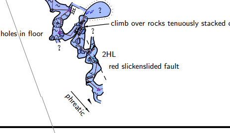
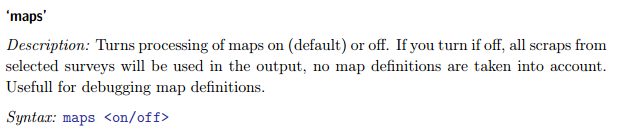
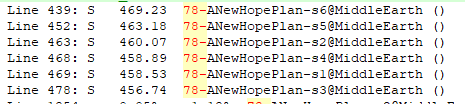
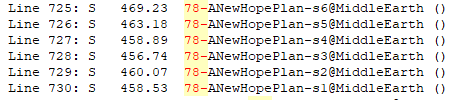
In case anyone is interested, I have updated my standard commentary in my thconfig template, to account for the new 'maps' switch, as below. And I have some more observations on 'maps' behaviour below that. ##SELECT SURVEY AND OR MAP OBJECTS to prepare for output #======================================================= # Default (nothing) selects all surveys/maps in 'sources'. # If a unique survey or map title can be inferred, map header includes the 'title' # List the specific surveys and or map objects that you wish to export # If no surveys are selected, then 'survey type exports' will include ALL surveys in 'sources' # If no map objects are selected, then 'map object type exports' will include ALL map objects in 'sources' # Surveys and map object selections are independent, the selections and outputs of one type have NO EFFECT on the other # For this reason, unless all surveys and all maps are (drawn and) selected, or # unless selected map(s) are defined with an associated 'survey <id>' option, # reported statistics for the different outputs almost always differ from each other. # select NameOfCavePlan # select NameOfCaveElevEXT maps on # [on] off ## Setting maps to off disables all previews and offsets, and only scraps from the selected maps are output. Survey centrelines included as part of a map definition are not output. # As at Jun2019, maps off significantly increases compile time and pdf file size To demonstrate those last points, here is a work in progress including a selected map that includes a survey centreline with 'maps on'. Here is the same selected map including the same selected centreline with 'maps off'. The centreline component of the map definition is not output, which is consistent with the stated behaviour in the Therion Book that only scraps are output, but not necessarily what I was expecting. It is a good behaviour though, as the general combination of effects is to simplify the output. Still not sure why an output that contains less (no previews, no map-connections, less centreline) should be 15x bigger in file size. Interesting that the colouring differs between the two examples, as they are coloured by altitude, and nothing else has changed between compiles. Here are log file excerpts that show that the scrap altitudes are unchanged, although Therion has reordered them. With 'maps off' they appear in order of altitude, and with 'maps on' they are in the order that they appear in the map definition (or is that a coincidence?). Maps Off Maps On I have not shown the map lines for the 'maps on' case here, but it is interesting that the maps comprised of centrelines only do not even appear in any of the log files. It looks to me like the maps are listed in order of average altitude (highest at top) when 'maps on' is set, but it is hard to tell, because at present they all report the altitude as -8999 etc. Bruce