1 Dec
2024
1 Dec
'24
9:10 p.m.
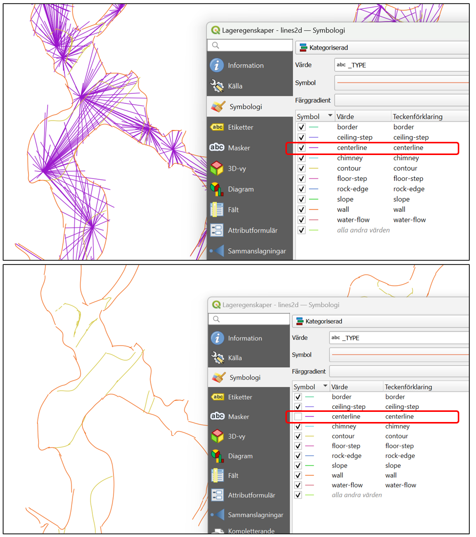
Hi When I export the therion project as a shape file for GIS, both the centerline and splay shots are grouped under the attribute TYPE --> centerline. I was expecting the splay shots to have its own category. Is this the expected behavior? If so, is there a way to only export the centerline? See attached screenshots from QGIS. These are my lines of code in thconfig: # ESRI ARCMAP export map -projection plan \ -output ../Output/shape2d \ -enable all \ -format esri Kind regards //Ola Löfquist Sweden [image: Qgis - Centerline.png]