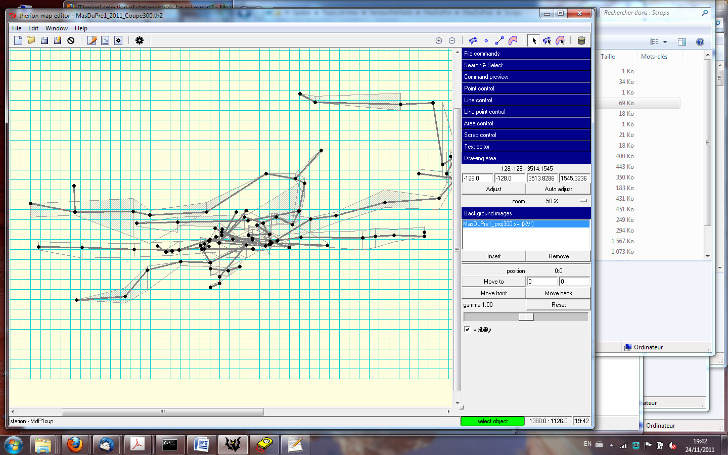
I have a cave which is quite complex and I would like to make elevations with different projection angles. My problem is that I cannot group all the shots for each elevation in separate surveys, so that when I export the xvi sketch to draw my elevations, I got all the stations and shots. I put below an example of the big cloud of points that it makes in the xvi: this superimposition of all the shots which will not be drawn in the elevation prevent from seeing the stations and shots which should be drawn. Does anyone see a solution to select only the stations/shots that I need? So far, I duplicated the whole survey to keep only the points that I needed, but this has to be done for each connected component independently, which is not very easy. Xavier --
------------------------- Xavier Pennec Senior Research Scientist / Directeur de recherche Asclepios project-team, INRIA Sophia-Antipolis 2004 Route des Lucioles, BP93 F-06902 Sophia-Antipolis Cedex, France +33 4 92 38 76 64 +33 6 78 35 16 90 http://www-sop.inria.fr/asclepios/ -------------------------------