Re: [Therion] Paperless Cave Survey with DistoX, PocketTopo and Therion

Bruce Thanks for your explanations. At Sun, 31 Jan 2010 14:24:11 +1300, Bruce Mutton wrote:
It is documented, but on searching just now I discovered it is quite hard to find. Martin Sluka commented back in April 2009... "Therion export file from PocketTopo is an intermediate format. The data and sketches are generated right in Therion - Import for data and Insert background images -> format PocketTopo for sketches."
I am aware of that, but that is not what we (I) want. I don't think we can do much userul with these files, because they are already processed.
Attached are some notes I made to myself on how to use the gadgets and process the data in a consistent way. I think the bit on branching of passages is erroneous. I need to play some more to figure out how it really works. The answer to your question is near the top of the second page I think. I keep a .top file and both types of exported .txt files in the folder with all of the therion data. The bulk of the .th file is created without much in the way of user intervention.
If I understand that correctly, PocketTopo is still completely closed and the file format not documented. Also from reading your comments, the PDA software seems to be quite inflexible (first splay shots, then next target). Since I am also considering going that route, these seem to be severe limitations. Working together with people using PocketTopo, it is quite inconvenint not to have true Therion *.th files with the full set of measurements, but just processed data. It would be great to be able to write a *.top conversion utility, but for that the file format needs to known. Best, Martin

On 31.1.2010, at 5:37, Martin Lüthi wrote:
If I understand that correctly, PocketTopo is still completely closed and the file format not documented. Also from reading your comments, the PDA software seems to be quite inflexible (first splay shots, then next target). Since I am also considering going that route, these seem to be severe limitations.
Dear friends, I thank for the miracle I hoped all me cave life. My dream about xyz instrument is reality. I spoke with Beat just few minutes he presented his solution. His answers were simple: he did it for himself but he is able to SELL such boards to other surveyors. The software is for himself too, so use it or let it be. The format of .top files is just simple, because PocketTopo uses only straight lines, not splines or Beziers. It means you should to redraw the sketch from PocketTopo anyway. Martin

Working together with people using PocketTopo, it is quite inconvenint not to have true Therion *.th files with the full set of measurements, but just processed data. It would be great to be able to write a *.top conversion utility, but for that the file format needs to known.
The reason why you get survey shot data as an average of three measurments in pocketTopo therion export is that therion currently does not fully support multiple measurements of one shot. We agreed with Beat that he will export only averaged shots until it would be fixed in therion. Martin BTW, there is an open alternative at http://marcocorvi.altervista.org/caving/distox/index.htm

You can use my converter tool to reformat the txt export format from PocketTopo into Survex format: http://www.darkgem.com/wscc/caving-talk/index.php?title=CaveSurveyDataConver... This will get you your original data readings out in a format which I think should pretty well cut and paste into .th files too (as Therion is based on the same syntax). My converter averages the three shots to output a single reading for the survey legs, and attempts to match up to 4 splays to generate LRUD readings. If you want different output email me and I will see what I can do. Footleg On 1 February 2010 08:56, Martin Budaj <m.budaj@gmail.com> wrote:
Working together with people using PocketTopo, it is quite inconvenint not to have true Therion *.th files with the full set of measurements, but just processed data. It would be great to be able to write a *.top conversion utility, but for that the file format needs to known.
The reason why you get survey shot data as an average of three measurments in pocketTopo therion export is that therion currently does not fully support multiple measurements of one shot. We agreed with Beat that he will export only averaged shots until it would be fixed in therion.
Martin
BTW, there is an open alternative at http://marcocorvi.altervista.org/caving/distox/index.htm _______________________________________________ Therion mailing list Therion@speleo.sk http://mailman.speleo.sk/mailman/listinfo/therion
Hi Footleg At Mon, 1 Feb 2010 10:40:37 +0000,
You can use my converter tool to reformat the txt export format from PocketTopo into Survex format: http://www.darkgem.com/wscc/caving-talk/index.php?title=CaveSurveyDataConver...
This will get you your original data readings out in a format which I think should pretty well cut and paste into .th files too (as Therion is based on the same syntax). My converter averages the three shots to output a single reading for the survey legs, and attempts to match up to 4 splays to generate LRUD readings. If you want different output email me and I will see what I can do.
Thanks for your message. If I understand correctly, you use the text export from PocketTopo (the therion export?) and convert that to survex shots. This is obviously pretty trivial, and I have written a 10 line python code doing exactly that. I am more interested to read the *.top files (the original PocketTopo files) directly. Do you have code for that? Or at least a description of that binary format? The *.top format seems to be somewhat more convoluted than most binary formats, so it is not even easy to guess how to access that data. Thanks, Martin
2010/2/1 Martin Lüthi <luethi@vaw.baug.ethz.ch>:
Thanks for your message. If I understand correctly, you use the text export from PocketTopo (the therion export?) and convert that to survex shots. This is obviously pretty trivial, and I have written a 10 line python code doing exactly that.
Yes, all I am doing is interpreting the plain text data export file. It is a pretty trivial problem for simple files, although it can become a little more complex when you have multiple trips and survey series entered in the one cave file. My tool was written primarily to help non-software developer cavers to get their data out quickly after trips to insert into the master project. If you are able to write python scripts you could easily do the equivalent task.
I am more interested to read the *.top files (the original PocketTopo files) directly. Do you have code for that? Or at least a description of that binary format? The *.top format seems to be somewhat more convoluted than most binary formats, so it is not even easy to guess how to access that data.
Unfortunately I have no information about the .top file format. I just wrote my converter from manual inspection of the text export format and subsequent debugging each time we encounter a file which it does not handle correctly. With your python scripts watch out for the issue I did not spot at first when averaging three bearings when they are spread either side of zero (e.g. 359.9, 0.1, 0.0 should average to 0.0, and not 180! ) Footleg

Has anyone achieved the reverse? I'd like to export an existing Therion survey into PocketTopo, so that when I add to the survey using the DistoX, I can immediately see the new and the old data in PocketTopo. Regards, - Ben
-----Original Message----n From: therion-bounces@speleo.sk [mailto:therion-bounces@speleo.sk] On Behalf Of Footleg Sent: 01 February 2010 10:41 To: List for Therion users Subject: Re: [Therion] Paperless Cave Survey with DistoX,PocketTopo and Therion
You can use my converter tool to reformat the txt export format from PocketTopo into Survex format: http://www.darkgem.com/wscc/caving-talk/index.php?title=CaveSu rveyDataConverter
This will get you your original data readings out in a format which I think should pretty well cut and paste into .th files too (as Therion is based on the same syntax). My converter averages the three shots to output a single reading for the survey legs, and attempts to match up to 4 splays to generate LRUD readings. If you want different output email me and I will see what I can do.
Footleg
On 1 February 2010 08:56, Martin Budaj <m.budaj@gmail.com> wrote:
Working together with people using PocketTopo, it is quite inconvenint not to have true Therion *.th files with the full set of measurements, but just processed data. It would be great to be able to write a *.top conversion utility, but for that the file format needs to known.
The reason why you get survey shot data as an average of three measurments in pocketTopo therion export is that therion currently does not fully support multiple measurements of one shot. We agreed with Beat that he will export only averaged shots until it would be fixed in therion.
Martin
BTW, there is an open alternative at http://marcocorvi.altervista.org/caving/distox/index.htm _______________________________________________ Therion mailing list Therion@speleo.sk http://mailman.speleo.sk/mailman/listinfo/therion
_______________________________________________ Therion mailing list Therion@speleo.sk http://mailman.speleo.sk/mailman/listinfo/therion

Has anyone achieved the reverse? I'd like to export an existing Therion survey into PocketTopo, so that when I add to the survey using the DistoX, I can immediately see the new and the old data in PocketTopo. Regards, - Ben
A nice idea, and I'm sure it could be done. PocketTopo is a great tool for collecting data, but for me it would be like getting back into a strait jacket. I can see issues with survey or 'series' connections, station naming, and station co-ordinates. In Therion these are completely flexible, we add prefixes & suffixes to the pockettopo stations, for example, to make them more human readable. In PocketTopo they appear to be rigidly constrained, and I have found odd things happen when I (regularly) bend PocketTopos rules. Good Luck Bruce
Several years ago Stacho made simple export from Therion to PocketTopo. It created plenty of short series, but it worked. The name of Therion station could be wrote in note field. On 14.9.2010, at 23:12, Bruce wrote:
Has anyone achieved the reverse? I'd like to export an existing Therion survey into PocketTopo, so that when I add to the survey using the DistoX, I can immediately see the new and the old data in PocketTopo. Regards, - Ben
A nice idea, and I'm sure it could be done. PocketTopo is a great tool for collecting data, but for me it would be like getting back into a strait jacket.
I can see issues with survey or 'series' connections, station naming, and station co-ordinates. In Therion these are completely flexible, we add prefixes & suffixes to the pockettopo stations, for example, to make them more human readable. In PocketTopo they appear to be rigidly constrained, and I have found odd things happen when I (regularly) bend PocketTopos rules.
Good Luck Bruce
_______________________________________________ Therion mailing list Therion@speleo.sk http://mailman.speleo.sk/mailman/listinfo/therion
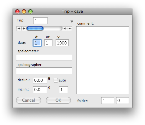
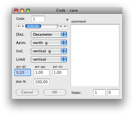
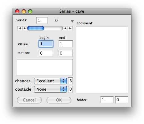
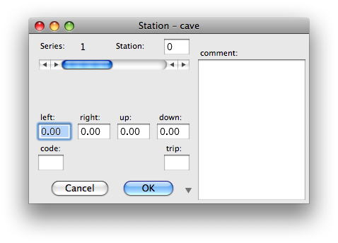

My cave data converter program does this for survex data files (a subset of the syntax is supported at present), and also from DXF files generated from a survex .3d file. http://www.darkgem.com/wscc/caving-talk/index.php?title=CaveSurveyDataConver... You can export any 3D files to DXF from the right-click menu in Windows Explorer if you have Survex installed, and then convert this DXF file using my converter to a toporobot text file which PocketTopo can import. You do lose the original station numbers in the process, but it does at least get the cave centreline onto your PDA so that you can survey new stuff tied into the known cave and have the full network diagram with you underground. I then just export the new data from the PDA after the trip and process it into the drawing program of my choice. Footleg On 15 September 2010 08:12, Martin Sluka <martinsluka@mac.com> wrote:
Several years ago Stacho made simple export from Therion to PocketTopo. It created plenty of short series, but it worked. The name of Therion station could be wrote in note field.
On 14.9.2010, at 23:12, Bruce wrote:
Has anyone achieved the reverse? I'd like to export an existing Therion
survey into PocketTopo, so that when I add to the survey using the DistoX, I can immediately see the new and the old data in PocketTopo. Regards, - Ben
A nice idea, and I'm sure it could be done. PocketTopo is a great tool for collecting data, but for me it would be like getting back into a strait jacket.
I can see issues with survey or 'series' connections, station naming, and station co-ordinates. In Therion these are completely flexible, we add prefixes & suffixes to the pockettopo stations, for example, to make them more human readable. In PocketTopo they appear to be rigidly constrained, and I have found odd things happen when I (regularly) bend PocketTopos rules.
Good Luck Bruce
_______________________________________________ Therion mailing list Therion@speleo.sk http://mailman.speleo.sk/mailman/listinfo/therion
_______________________________________________ Therion mailing list Therion@speleo.sk http://mailman.speleo.sk/mailman/listinfo/therion
participants (7)
-
 Ben Cooper
-
 Bruce
-
 Footleg
-
 Footleg
-
 Martin Budaj
-
 Martin Lüthi
-
 Martin Sluka